Sam Jung · 12 September 2026
What Data Reveals About Pollution Levels in Reclaimed Industrial Shorelines
Reclaimed industrial shorelines have drawn sustained attention from environmental monitoring programs because legacy contaminants often remain embedded in sediments and soils long after factories close their doors. Data gathered from these sites across multiple continents shows that pollution profiles vary widely depending on the original industrial activities and the extent of remediation completed before redevelopment begins. Researchers track heavy metals, polycyclic aromatic hydrocarbons, and polychlorinated biphenyls most frequently because these compounds persist in marine and estuarine environments and can re-enter food webs if disturbance occurs during construction or natural erosion events.
Historical Industrial Footprints and Initial Contamination Patterns
Shoreline zones that once hosted shipyards, oil refineries, and chemical manufacturing facilities accumulated complex mixtures of pollutants over decades of operation. Sediment cores extracted from these areas routinely contain elevated concentrations of lead, mercury, and zinc that exceed background levels by factors of ten to one hundred according to records maintained by national environmental agencies. The United States Environmental Protection Agency maintains an extensive database on such sites, and its reports indicate that many reclamation projects begin with total petroleum hydrocarbon levels ranging from several hundred to several thousand milligrams per kilogram in surface sediments.
Monitoring Techniques and Recent Data Collection Efforts
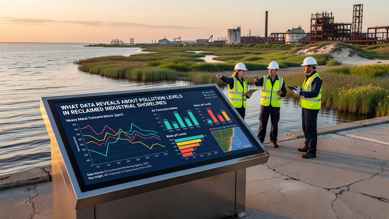
Modern assessment programs combine grab sampling, passive samplers, and remote sensing to build time-series records of contaminant concentrations both before and after reclamation work. In September 2026 several regional authorities released consolidated datasets covering the preceding five years, and those figures reveal that average mercury concentrations in remediated zones dropped by approximately 40 percent compared with pre-cleanup baselines while polycyclic aromatic hydrocarbon totals declined more modestly at roughly 25 percent. Analysts note that tidal flushing and engineered capping layers contribute to these reductions yet also observe that subsurface layers sometimes retain higher burdens that become exposed during storm-driven erosion.
Regional Comparisons Across North America and Europe
North American and European datasets display noticeable differences tied to regulatory timelines and industrial histories. Canadian federal monitoring along the St. Lawrence River estuary shows that reclaimed port areas now exhibit copper and cadmium levels within provincial sediment quality guidelines at 70 percent of sampled locations, whereas certain Baltic Sea ports still report occasional exceedances of nickel thresholds even after extensive dredging campaigns. Academic teams at institutions such as the University of Gothenburg have published peer-reviewed papers documenting how benthic community recovery correlates with measured declines in organotin compounds following the phase-out of antifouling paints. These studies rely on multivariate statistical models that link biological indices directly to chemical concentrations rather than relying solely on regulatory thresholds.
Implications for Redevelopment and Ongoing Risk Management
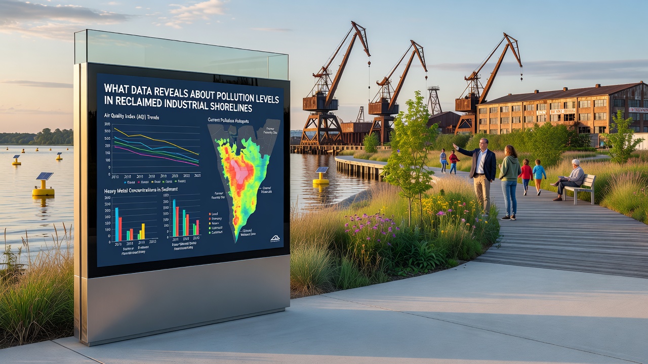
Reclamation projects that convert former industrial waterfronts into residential, commercial, or recreational spaces require ongoing verification that residual contamination does not migrate into surface water or biota. Data from long-term sentinel stations demonstrate that dissolved-phase concentrations of most monitored substances remain below acute toxicity thresholds once capping or dredging has been completed, yet episodic resuspension events during extreme weather can temporarily elevate particulate-bound loads. Environmental agencies in Australia have incorporated real-time turbidity and contaminant sensors into several Sydney Harbour redevelopment sites, and the resulting telemetry streams allow managers to adjust construction schedules when sensor readings approach predefined action levels.
One study conducted along the lower Fraser River in British Columbia tracked contaminant flux across a newly created intertidal habitat and found that established salt-marsh vegetation reduced export of particle-bound contaminants by roughly 60 percent during typical tidal cycles. Such findings underscore the value of integrating ecological engineering with traditional engineering controls when planners design final site configurations.
Conclusion
Comprehensive datasets now available from multiple jurisdictions demonstrate measurable progress in lowering surface sediment contamination at many reclaimed industrial shorelines, although deeper layers and episodic disturbance continue to present management challenges. Continued collection of integrated chemical, physical, and biological indicators will determine whether current remediation standards remain protective as climate-driven changes alter hydrology and sediment transport patterns along these dynamic coastal margins.