Taylor Neumann · 26 September 2026
Tracing Biodiversity Shifts in Former Port Districts After Infrastructure Overhauls
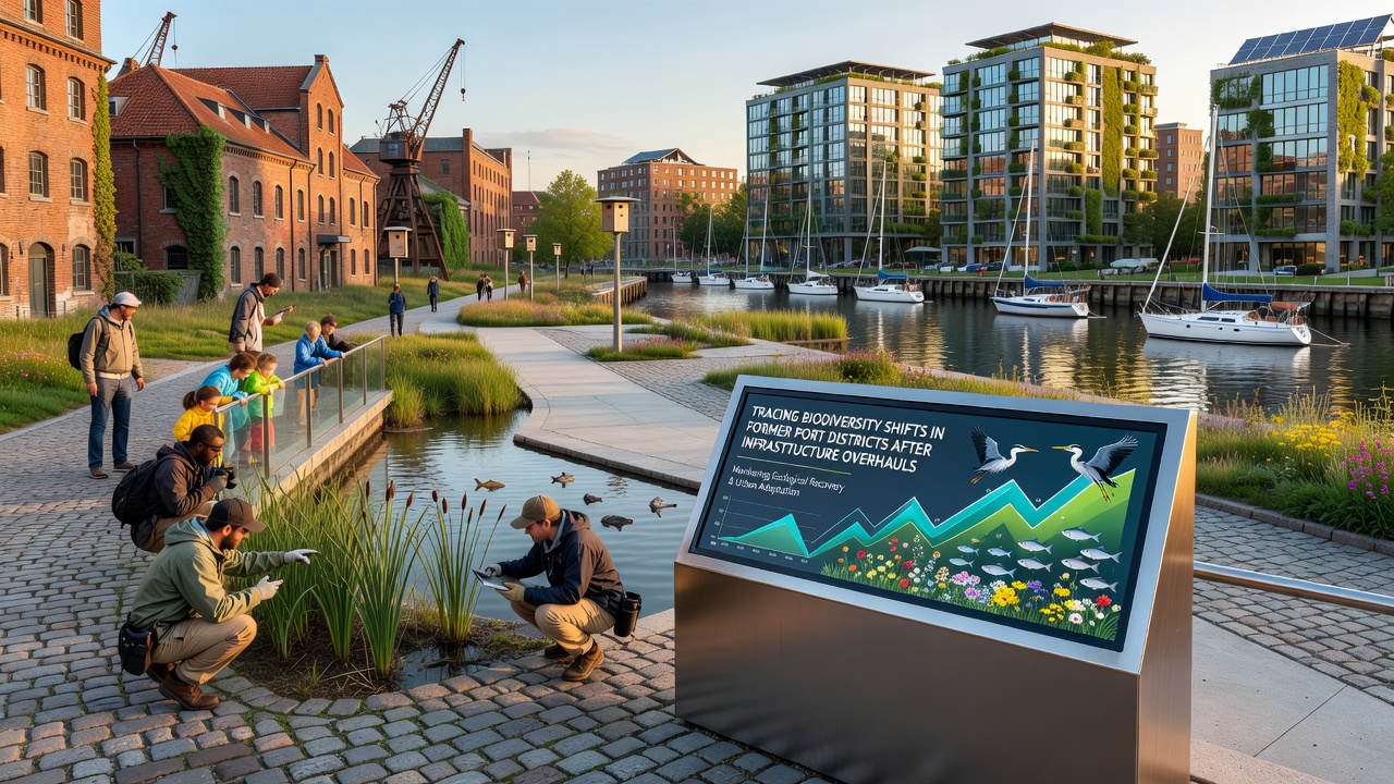
Former port districts across multiple continents have undergone major infrastructure overhauls in recent decades, and researchers now track resulting changes in local biodiversity through systematic surveys and long-term monitoring programs. These areas, once dominated by shipping terminals, warehouses, and industrial activity, often featured contaminated soils and degraded waterways that limited native species populations. After redevelopment projects convert the sites into mixed-use zones with parks, residential spaces, and transport upgrades, ecologists document shifts in plant, bird, fish, and invertebrate communities.
Historical Context of Port Redevelopment
Many port districts built during the mid-20th century accumulated heavy metals, hydrocarbons, and other pollutants that reduced habitat quality for decades. Cities in North America, Europe, and Australia began large-scale remediation efforts in the 1990s and 2000s, removing contaminated sediment and capping remaining toxins before new infrastructure such as flood barriers, rail links, and public waterfronts took shape. Data collected before and after these works show measurable differences in species richness once vegetation returns and water circulation improves.
Methods Used to Track Biodiversity Changes
Scientists combine traditional field counts with newer techniques including environmental DNA sampling, acoustic monitoring for birds and bats, and satellite imagery analysis to follow population trends over time. Government agencies coordinate with universities on repeated transects at fixed points, while citizen science apps supply additional observations from residents who visit the new parks. These combined datasets allow comparison across seasons and years without relying on single snapshots.
One study released in 2024 examined six redeveloped port sites on three continents and recorded increases in native plant cover ranging from 18 to 47 percent within five years of soil remediation. Fish surveys conducted with electrofishing gear documented return of species that had been absent for generations once dissolved oxygen levels rose above critical thresholds.
Case Examples from Different Regions
In the United States, the Environmental Protection Agency has supported brownfield redevelopment projects that include biodiversity monitoring components. Teams working on former industrial waterfronts in the Great Lakes region report higher numbers of migratory waterfowl and pollinator insects after native meadow plantings replaced asphalt lots. Similar patterns appear in Australian port cities where mangrove restoration projects coincide with new ferry terminals and pedestrian bridges.
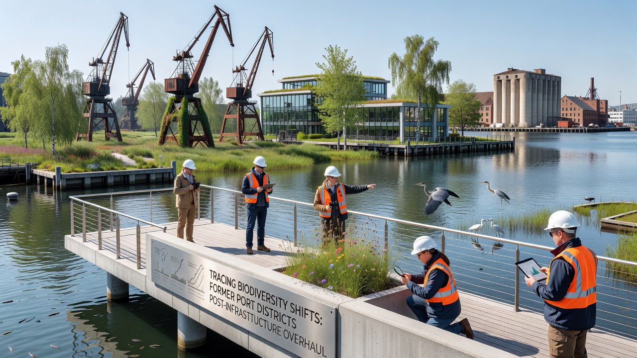
European ports that completed infrastructure upgrades between 2015 and 2022 show parallel trends according to reports from the European Environment Agency. Monitoring stations installed along the North Sea coast recorded greater diversity of benthic invertebrates after dredging operations improved tidal flow and reduced anoxic zones. Researchers note that connectivity between restored patches and nearby natural areas influences how quickly mobile species recolonize the sites.
Factors Influencing Recovery Rates
Recovery speed varies with the extent of prior contamination, the quality of new habitat features, and ongoing human activity levels. Sites that incorporate wide buffer zones of native vegetation and restrict vehicle access tend to support more stable populations than those with frequent maintenance traffic. Climate variables also play a role, as changing temperature and precipitation patterns affect which species can establish successfully in the altered landscapes.
By September 2026 several ongoing programs plan to release updated datasets covering the first full decade after major overhauls at multiple locations. These reports will compare metrics such as breeding bird density, macroinvertebrate indices, and vegetation structure against baseline measurements taken prior to construction.
Conclusion
Long-term observation of former port districts demonstrates that infrastructure overhauls paired with remediation and habitat creation can produce measurable biodiversity gains. Continued data collection from standardized monitoring networks supplies the evidence needed to refine future projects and evaluate which design elements deliver the strongest ecological outcomes across different geographic settings.